Taking UAV software further
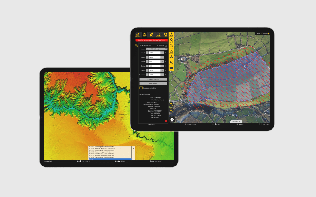
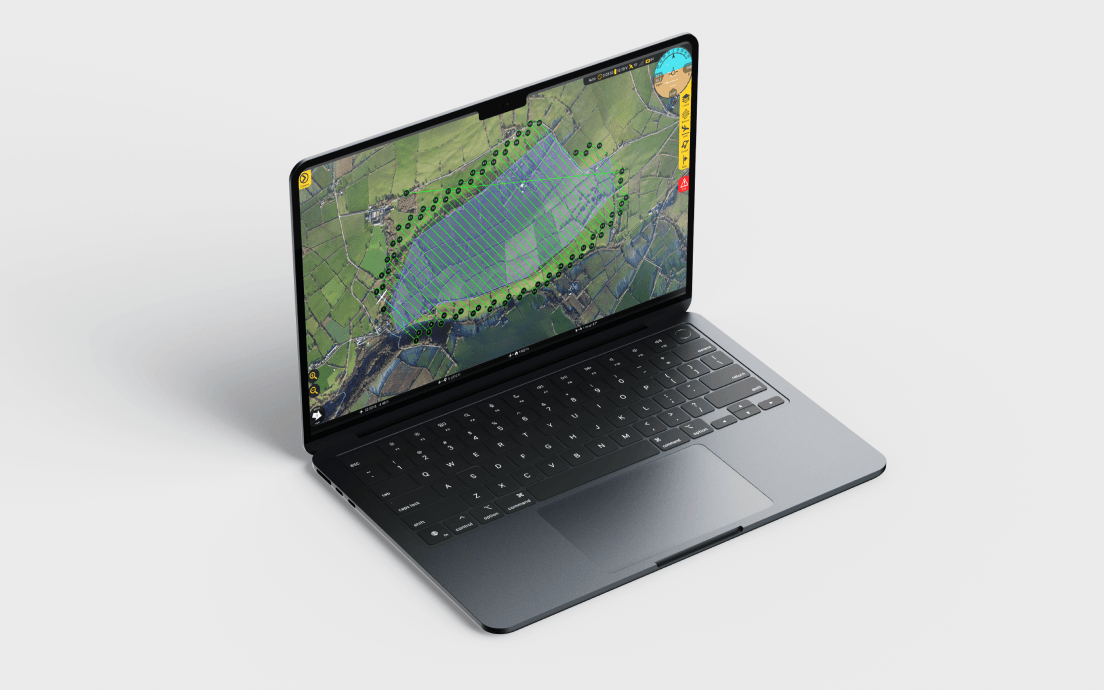
We worked closely with Swift Radioplanes' team to implement terrain rendering and elevation data support in their UAV software, taking their existing 2D mapping software overlays to the next level. Our solution managed the downloading of all terrain data at multiple zoom levels for the global map, while keeping download and bandwidth to a minimum, even on mobile systems.
To achieve rendering of the terrain, we wrote customizable shaders in GLSL for cross platform compatibility. These shaders faked 3D data in the pixel shader and generated a fake 3D projection which had generated normals and could be treated as a 3D scene. This gave us access to lighting, shadows, and completely customizable bias and colouring on a per elevation basis thus providing their customers with a seamless and engaging experience. Our solution also exposed extremely fast ways to query elevation data with GPU acceleration, which is critical for route planning and terrain avoidance.
Client:
Swift Radioplanes
What we did:
Software engineering, App development, Software consultancy